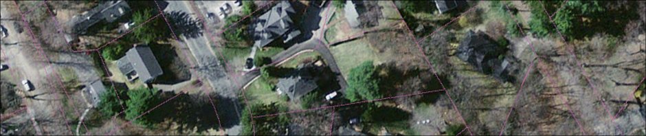
After several false starts with handmade terrain and paper plot plans, I’ve discovered Google Earth Terrain. Downloading this data for my neighborhood has enabled me to adjust the model so the parcel boundaries, fences, trees, roads and neighboring structures all match up with reality, as evidenced by the shade model. When I set Sketchup’s shadows for a particular date and time, they fall exactly where the real shadows are falling that day and time in the yard and inside the house. For instance, here are the shadows for June 11, 2011, at 9:48am (Eastern time zone).

This in turn has confirmed how much sunshine falls on different parts of the property over the course of the Summer. On that basis, we’ve planted a small garden along the fence, near where our driveway enters the backyard. The vegetables are growing fast — we can hardly keep up with all the salad greens and Arugula!